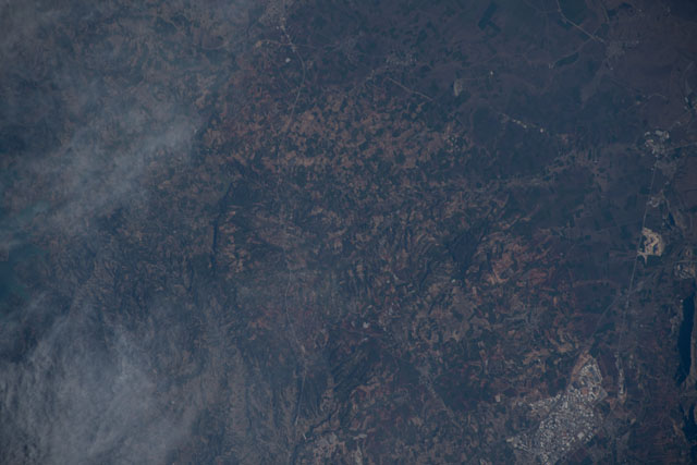
ISS068-E-47267
| NASA Photo ID | ISS068-E-47267 |
| Focal Length | 420mm |
| Date taken | 2023.02.08 |
| Time taken | 07:08:37 GMT |
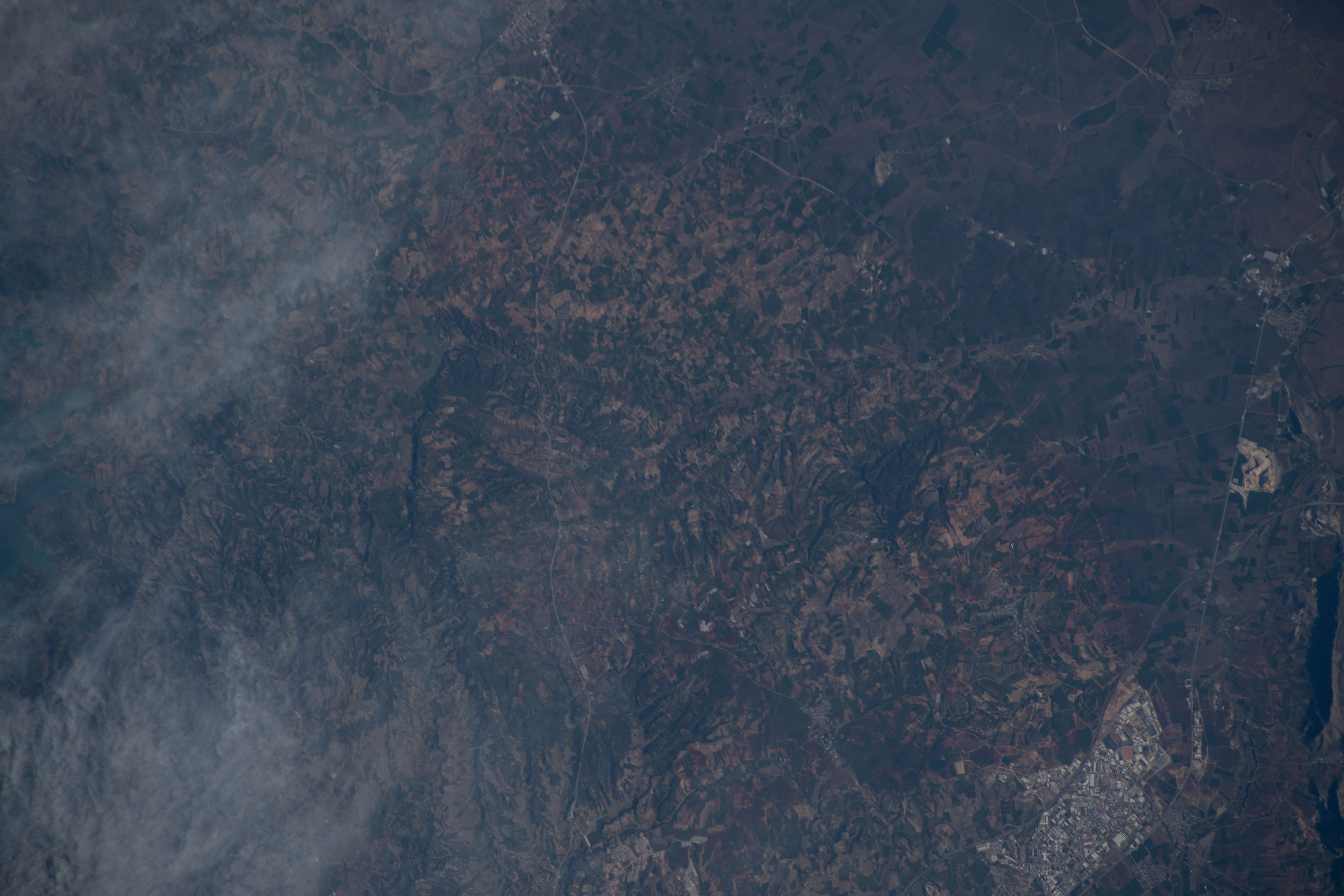


Spacecraft nadir point: 35.4° N, 35.6° E
Photo center point: 37.1° N, 35.6° E
Photo center point by machine learning:
Photo center point: 37.1° N, 35.6° E
Photo center point by machine learning:
Nadir to Photo Center: North
Spacecraft Altitude: 222 nautical miles (411km)
Camera: | Nikon D5 Electronic Still Camera |
Focal Length: | 420mm |
Camera Tilt: | 25 degrees |
Format: | 5568E: 5568 x 3712 pixel CMOS sensor, 35.9 x 23.9 mm, total pixels: 21.33 million, Nikon FX format |
Film Exposure: | |
| Additional Information | |
| Width | Height | Annotated | Cropped | Purpose | Links |
|---|---|---|---|---|---|
| 5568 pixels | 3712 pixels | No | No | Download Image | |
| 640 pixels | 427 pixels | No | No | Download Image |
Download Packaged File
Download a Google Earth KML for this Image
View photo footprint information
Download a GeoTIFF for this photo
Georeferenced by human interaction - exported 2023-02-10-002249-UTCAn explanation of the georeference file(s) above
Image Caption: none
