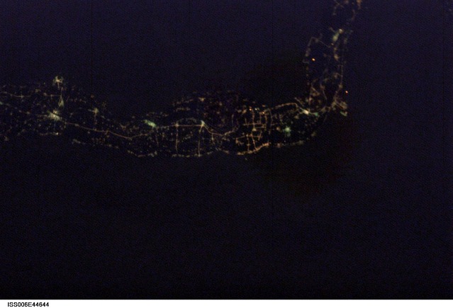
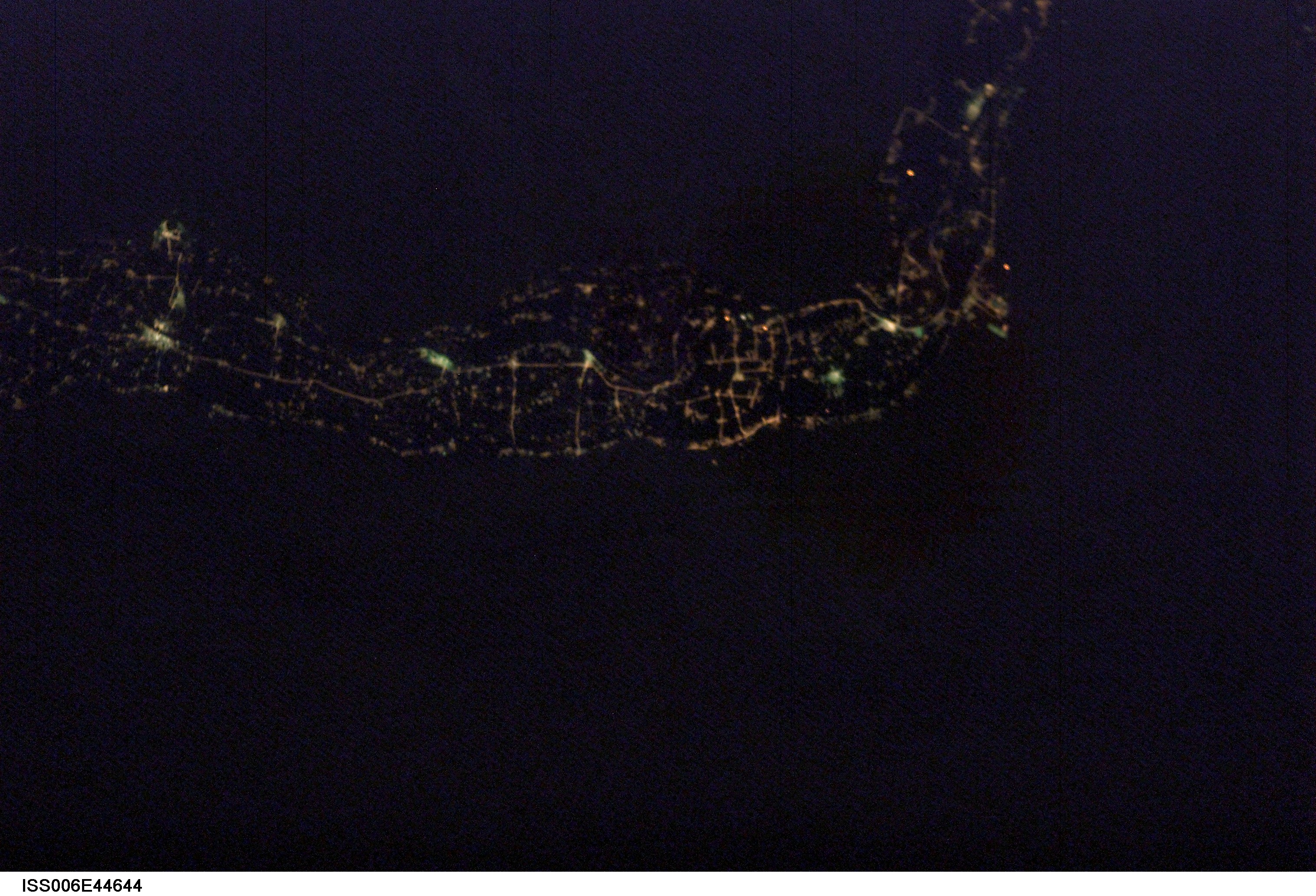
< ISS006-E-44644 >
| NASA Photo ID | ISS006-E-44644 |
| Focal Length | 85mm |
| Date taken | 2003.04.11 |
| Time taken | 18:33:16 GMT |
Cloud masks available for this image:
Spacecraft nadir point: 25.6° N, 33.7° E
Photo center point: 26.0° N, 32.0° E
Photo center point by machine learning: 26.13° N, 31.99° E
Photo center point: 26.0° N, 32.0° E
Photo center point by machine learning: 26.13° N, 31.99° E
Nadir to Photo Center: West
Spacecraft Altitude: 212 nautical miles (393km)
Image Caption: none
