[Skip to Content]
Earth From Space
Earth from Space logo  5 Matches Search ResultsEarth from Space logo

Image: gray corner Image: gray corner
View Image Information
Image: Geographic Location
Image: gray corner Image: gray corner

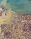
Photo #: ISS012-E-15050 Technical Info
All Available Images Lo-Resolution 387k
Features: ISLAND, ERIE, PORT, SED. PLUMES, CLEVELAND, RIVER, HIGHWAY, BAY, SANDUSKY, SEDIMENT, TOLEDO, LAKE
Geographic Region: USA-OHIO


Image: gray corner Image: gray corner
View Image Information
Image: Geographic Location
Image: gray corner Image: gray corner

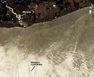
Photo #: ISS013-E-27872 Technical Info
All Available Images Lo-Resolution 295k
Features: GLINT, CLEVELAND, VERMILION R., ERIE, RIVER, LAKE, SUNGLINT, DETROIT, LAKE ERIE
Geographic Region: USA-OHIO


Image: gray corner Image: gray corner
View Image Information
Image: Geographic Location
Image: gray corner Image: gray corner

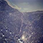
Photo #: STS059-234-34 Technical Info
All Available Images Lo-Resolution 386k
Features: CLEVELAND, AIRPORT, L. ERIE, SUNGL, URBAN AREA, LAKE, RIVER
Geographic Region: USA-OHIO


Image: gray corner Image: gray corner
View Image Information
Image: Geographic Location
Image: gray corner Image: gray corner

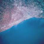
Photo #: STS068-209-69 Technical Info
All Available Images Lo-Resolution 324k
Features: RIVER, LAKE ERIE, LAKE, URBAN AREA, AIRPORT, CLEVELAND
Geographic Region: USA-OHIO


Image: gray corner Image: gray corner
View Image Information
Image: Geographic Location
Image: gray corner Image: gray corner

Photo #: STS068-237-47 Technical Info
All Available Images Lo-Resolution 143k
Features: AIRPORT, LAKE, URBAN AREA, LAKE ERIE, AGRICULTURE, CLEVELAND, COAST, PLAIN, RIVER
Geographic Region: USA-OHIO


NASA
Home Page
JSC
Home Page
JSC Digital
Image Collection
Earth Science &
Remote Sensing
NASA meatball logo
This service is provided by the International Space Station program and the JSC Earth Science & Remote Sensing Unit, ARES Division, Exploration Integration Science Directorate.
ESRS logo