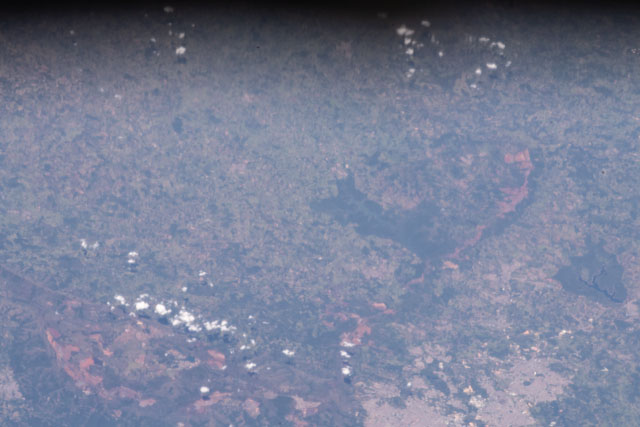
ISS058-E-9106
| NASA Photo ID | ISS058-E-9106 |
| Focal Length | 400mm |
| Date taken | 2019.02.02 |
| Time taken | 13:35:33 GMT |


Spacecraft nadir point: 18.0° S, 40.5° W
Photo center point: 20.3° S, 44.3° W
Photo center point by machine learning:
Photo center point: 20.3° S, 44.3° W
Photo center point by machine learning:
Nadir to Photo Center: Southwest
Spacecraft Altitude: 219 nautical miles (406km)
Country or Geographic Name: | BRAZIL |
Features: | BELO HORIZONTE, BRUMADINHO, CONTAGEM, ITABIRITO, BETIM, DAM COLLAPSE, FLOODING |
| Features Found Using Machine Learning: | |
Cloud Cover Percentage: | 10 (1-10)% |
Sun Elevation Angle: | 71° |
Sun Azimuth: | 90° |
Camera: | Nikon D5 Electronic Still Camera |
Focal Length: | 400mm |
Camera Tilt: | 51 degrees |
Format: | 5568E: 5568 x 3712 pixel CMOS sensor, 35.9 x 23.9 mm, total pixels: 21.33 million, Nikon FX format |
Film Exposure: | |
| Additional Information | |
| Width | Height | Annotated | Cropped | Purpose | Links |
|---|---|---|---|---|---|
| 5568 pixels | 3712 pixels | No | No | Download Image | |
| 640 pixels | 427 pixels | No | No | Download Image |
Download Packaged File
Download a Google Earth KML for this Image
View photo footprint information
Download a GeoTIFF for this photo
Georeferenced by human interactionAn explanation of the georeference file(s) above
Image Caption: none
