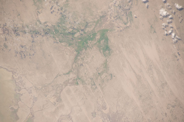
ISS050-E-70725
| NASA Photo ID | ISS050-E-70725 |
| Focal Length | 420mm |
| Date taken | 2017.04.07 |
| Time taken | 17:55:48 GMT |
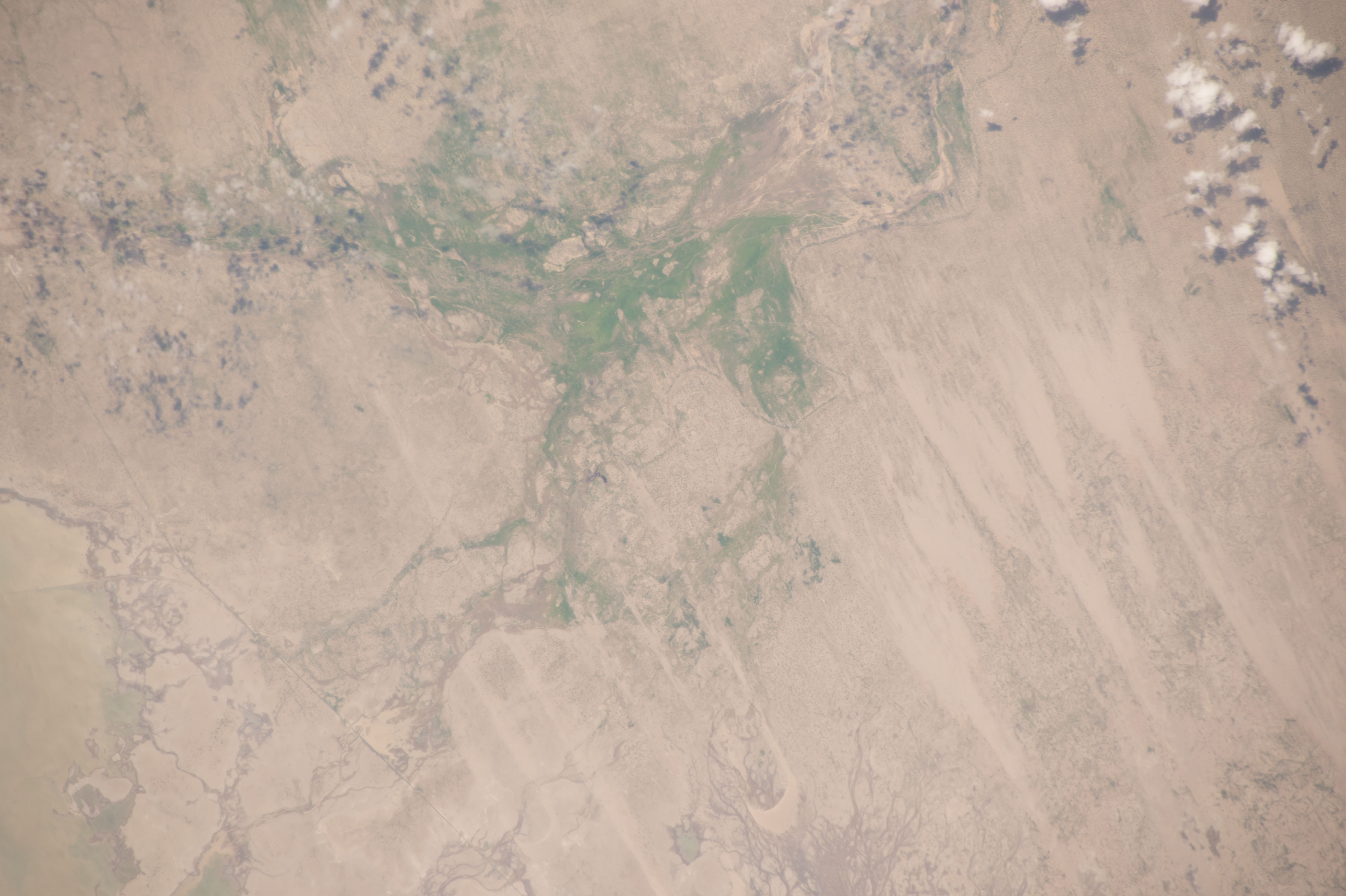

Spacecraft nadir point: 5.3° S, 79.9° W
Photo center point: 6.0° S, 80.4° W
Photo center point by machine learning:
Photo center point: 6.0° S, 80.4° W
Photo center point by machine learning:
Nadir to Photo Center: Southwest
Spacecraft Altitude: 217 nautical miles (402km)
Country or Geographic Name: | PERU |
Features: | FLOODING, LAGO LA NINA, PIURA, LAMBAYEQUE |
| Features Found Using Machine Learning: | |
Cloud Cover Percentage: | 10 (1-10)% |
Sun Elevation Angle: | 75° |
Sun Azimuth: | 325° |
Camera: | Nikon D4 Electronic Still Camera |
Focal Length: | 420mm |
Camera Tilt: | 13 degrees |
Format: | 4928E: 4928 x 3280 pixel CMOS sensor, 36.0mm x 23.9mm, total pixels: 16.6 million, Nikon FX format |
Film Exposure: | |
| Additional Information | |
| Width | Height | Annotated | Cropped | Purpose | Links |
|---|---|---|---|---|---|
| 4928 pixels | 3280 pixels | No | No | Download Image | |
| 640 pixels | 426 pixels | No | No | Download Image |
Download Packaged File
Download a Google Earth KML for this Image
View photo footprint information
Download a GeoTIFF for this photo
Georeferenced by human interaction - exported 2017-04-14-215610-UTCAn explanation of the georeference file(s) above
Image Caption: none
