ISS047-E-68507

| NASA Photo ID | ISS047-E-68507 |
| Focal Length | 400mm |
| Date taken | 2016.04.20 |
| Time taken | 08:35:28 GMT |
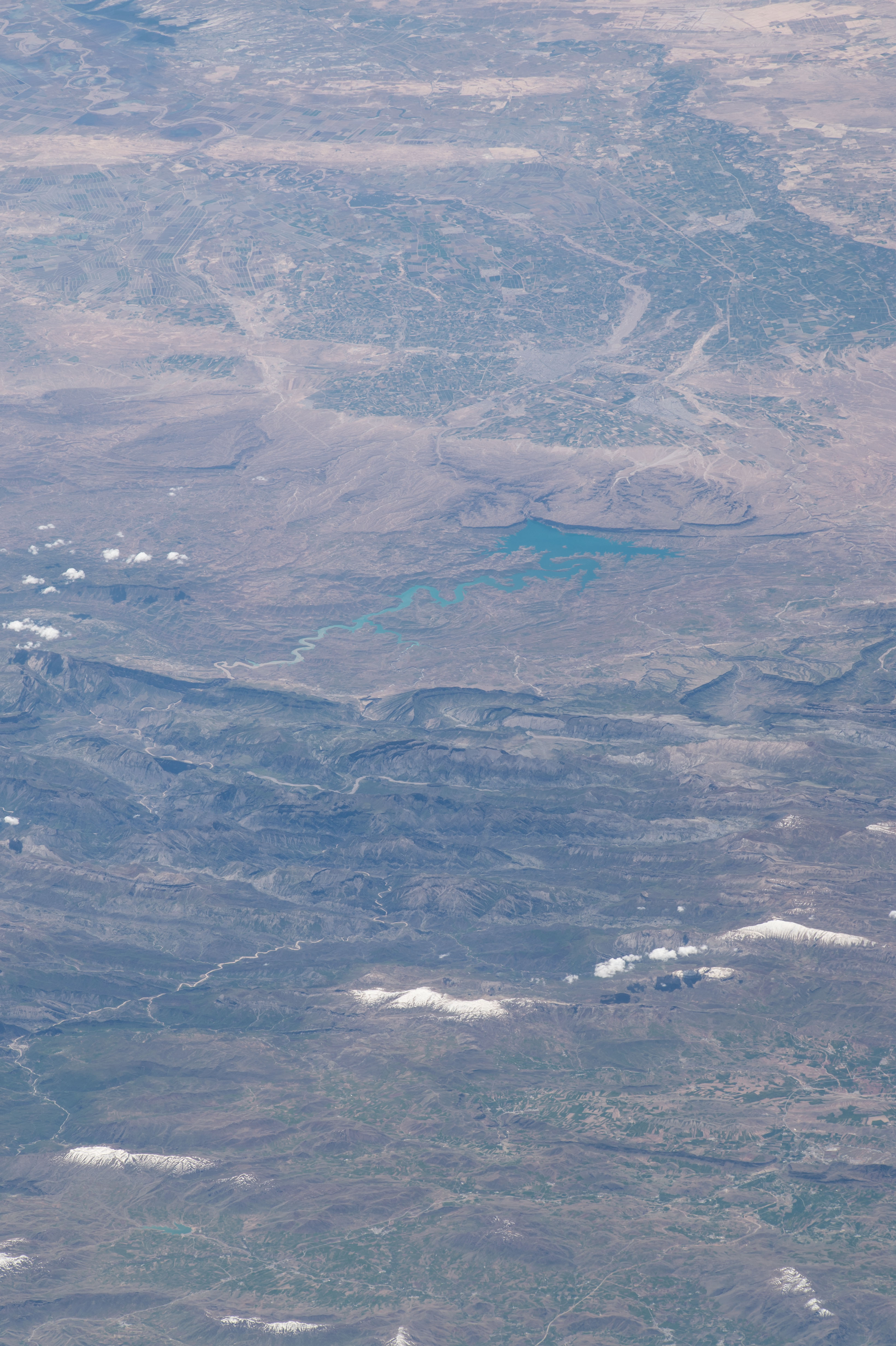

Spacecraft nadir point: 39.5° N, 49.1° E
Photo center point: 32.8° N, 48.5° E
Photo center point by machine learning:
Photo center point: 32.8° N, 48.5° E
Photo center point by machine learning:
Nadir to Photo Center: South
Spacecraft Altitude: 215 nautical miles (398km)
Country or Geographic Name: | IRAN |
Features: | DEZ DAM LAKE, ESLAMABAD, DEZFUL |
| Features Found Using Machine Learning: | |
Cloud Cover Percentage: | 10 (1-10)% |
Sun Elevation Angle: | 62° |
Sun Azimuth: | 176° |
Camera: | Nikon D4 Electronic Still Camera |
Focal Length: | 400mm |
Camera Tilt: | High Oblique |
Format: | 4928E: 4928 x 3280 pixel CMOS sensor, 36.0mm x 23.9mm, total pixels: 16.6 million, Nikon FX format |
Film Exposure: | |
| Additional Information | |
| Width | Height | Annotated | Cropped | Purpose | Links |
|---|---|---|---|---|---|
| 3280 pixels | 4928 pixels | No | No | Download Image | |
| 426 pixels | 640 pixels | No | No | Download Image |
Download Packaged File
Download a Google Earth KML for this Image
View photo footprint information
Download a GeoTIFF for this photo
Georeferenced by human interaction - exported 2016-08-18-215027-UTCGeoreferenced by human interaction - exported 2016-08-24-041850-UTC
An explanation of the georeference file(s) above
Image Caption: none
