
Geographic Region: USA-ALABAMA
Feature: BIRMINGHAM,APPALACHIAN R
|
Geographic Region: USA-ALABAMA Feature: BIRMINGHAM,APPALACHIAN R |
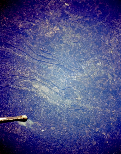 |
| STS062-153-203 Birmingham, Alabama, U.S.A. March 1994 The growth pattern of Birmingham, the "Pittsburgh of the South," is determined by the northeast-southwest alignment of low mountains in north-central Alabama. The shadowed, northwest-facing slopes of several taller ridges help accentuate the topographic relief of the photograph. The street patterns of Birmingham are not discernible; however, the general northeast-southwest development within the valley is apparent--Bessemer, a smaller, steel-producing city southwest of Birmingham, was the major source of economic development for the region during the mid-1900s. Proximity to nearby coal fields and large iron ore deposits helped to develop the region. Reflective Birmingham International Airport is barely discernible northeast of Birmingham. The tip of the Space Shuttle tail is apparent in the lower left corner of the photograph. |
| Images: | All Available Images Low-Resolution 332k |
|
| Mission: | STS062 |
|
| Roll - Frame: | 153 - 203 |
|
| Geographical Name: | USA-ALABAMA |
|
| Features: | BIRMINGHAM,APPALACHIAN R |
|
| Center Lat x Lon: | 33.5N x 87.5W |
|
| Film Exposure: | N | N=Normal exposure, U=Under exposed, O=Over exposed, F=out of Focus |
| Percentage of Cloud Cover-CLDP: | 5 |
|
| Camera:: | LH |
|
| Camera Tilt: | 34 | LO=Low Oblique, HO=High Oblique, NV=Near Vertical |
| Camera Focal Length: | 250 |
|
| Nadir to Photo Center Direction: | S | The direction from the nadir to the center point, N=North, S=South, E=East, W=West |
| Stereo?: | Y | Y=Yes there is an adjacent picture of the same area, N=No there isn't |
| Orbit Number: | 208 |
|
| Date: | 19940317 | YYYYMMDD |
| Time: | 131208 | GMT HHMMSS |
| Nadir Lat: | 34.6N |
Latitude of suborbital point of spacecraft |
| Nadir Lon: | 88W |
Longitude of suborbital point of spacecraft |
| Sun Azimuth: | 101 | Clockwise angle in degrees from north to the sun measured at the nadir point |
| Space Craft Altitude: | 106 | nautical miles |
| Sun Elevation: | 14 | Angle in degrees between the horizon and the sun, measured at the nadir point |
| Land Views: | MOUNTAIN, VALLEY |
|
| Water Views: | |
|
| Atmosphere Views: | |
|
| Man Made Views: | URBAN AREA, AIRPORT |
|
| City Views: | BIRMINGHAM |
|
Photo is not associated with any sequences | ||
| NASA Home Page |
JSC Home Page |
JSC Digital Image Collection |
Earth Science & Remote Sensing |
|
This service is provided by the International Space Station program and the JSC Earth Science & Remote Sensing Unit, ARES Division, Exploration Integration Science Directorate.

|