
Geographic Region: USA-TEXAS
Feature: AUSTIN, WACO AREA, RESERVOIRS
|
Geographic Region: USA-TEXAS Feature: AUSTIN, WACO AREA, RESERVOIRS |
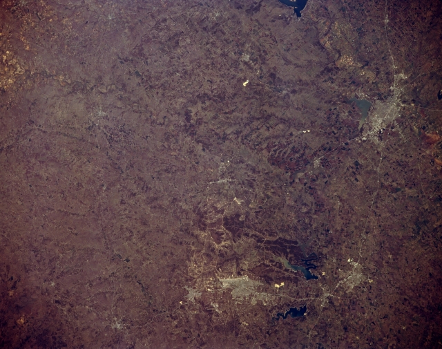 |
| STS062-152-246 Waco and Killeen, Texas, U.S.A. March 1994 Cities, connecting highways, large reservoirs, and diverse landscapes are featured in this synoptic photograph of central Texas. Urban areas are not clearly discernible; however, lighter colors denote the locations and sizes of various cities. Interstate Highway 35 connects from north to south Waco, Temple, and Belton, (right side of photograph). Circling clockwise to the northwest from Belton are Killeen with Fort Hood to its north and west, Copperas Cove, Lampasas, and Gatesville. Viewing from north to south are several reservoirs--the southern end of Lake Whitney, Lake Waco, Belton Lake, and Stillhouse Hollow Lake. Interstate Highway 35 is roughly the dividing line between the relatively flat terrain of the Grand Prairie to the east and the hills and uplifted plateaus, such as the Comanche Plateau and the Lampasas Cut Plains, to the west. |
| Images: | All Available Images Low-Resolution 286k |
|
| Mission: | STS062 |
|
| Roll - Frame: | 152 - 246 |
|
| Geographical Name: | USA-TEXAS |
|
| Features: | AUSTIN, WACO AREA, RESERVOIRS |
|
| Center Lat x Lon: | 31.5N x 97.5W |
|
| Film Exposure: | N | N=Normal exposure, U=Under exposed, O=Over exposed, F=out of Focus |
| Percentage of Cloud Cover-CLDP: | 0 |
|
| Camera:: | LH |
|
| Camera Tilt: | 5 | LO=Low Oblique, HO=High Oblique, NV=Near Vertical |
| Camera Focal Length: | 250 |
|
| Nadir to Photo Center Direction: | N | The direction from the nadir to the center point, N=North, S=South, E=East, W=West |
| Stereo?: | N | Y=Yes there is an adjacent picture of the same area, N=No there isn't |
| Orbit Number: | 99 |
|
| Date: | 19940310 | YYYYMMDD |
| Time: | 175631 | GMT HHMMSS |
| Nadir Lat: | 31.3N |
Latitude of suborbital point of spacecraft |
| Nadir Lon: | 97.4W |
Longitude of suborbital point of spacecraft |
| Sun Azimuth: | 162 | Clockwise angle in degrees from north to the sun measured at the nadir point |
| Space Craft Altitude: | 161 | nautical miles |
| Sun Elevation: | 53 | Angle in degrees between the horizon and the sun, measured at the nadir point |
| Land Views: | RANGE |
|
| Water Views: | RESERVOIR |
|
| Atmosphere Views: | |
|
| Man Made Views: | HIGHWAY |
|
| City Views: | |
|
Photo is not associated with any sequences | ||
| NASA Home Page |
JSC Home Page |
JSC Digital Image Collection |
Earth Science & Remote Sensing |
|
This service is provided by the International Space Station program and the JSC Earth Science & Remote Sensing Unit, ARES Division, Exploration Integration Science Directorate.

|